
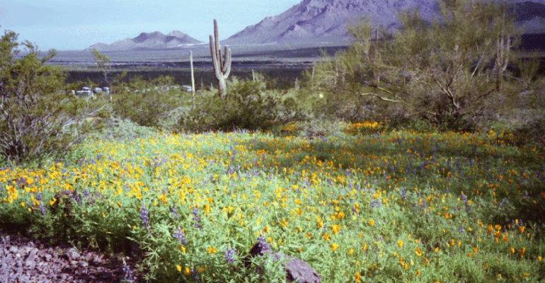
If you drive Interstate 10 between Tucson and Phoenix, about half way you pass between the Picacho Mountains (on the northeast side) and Picacho Peak (on the southwest side). Picacho Peak State Park is a frequent destination for picnics, rock climbing, and viewing spring wildflowers.
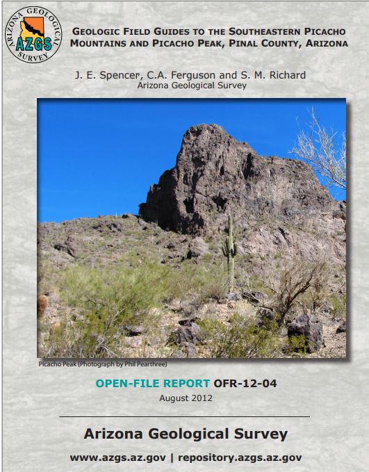
The Arizona Geological Survey has recently made available for free download Geologic Field Guides to the Southeastern Picacho Mountains and Picacho Peak. (Link)
From the guide:
 The Picacho Mountains consist largely of a compositionally diverse suite of Laramide to middle Tertiary biotite granite, muscovite granite, and heterogeneous to gneissic granite. At the southern end of the range, most of the crystalline rocks have been affected by middle Tertiary mylonitic deformation. Mylonitization is inferred to have accompanied normal faulting and ascent of the bedrock from mid-crustal depths to near the Earth’s surface. [Mylonitization is modification due to dynamic recrystallization following plastic flow.]
Ascent occurred in the footwall of a moderate to low-angle normal fault commonly known as a “detachment fault”. The crystalline rocks of the Picacho Mountains are part of the footwall of a south- to southwest-dipping detachment fault that is exposed only at the base of a small klippe of volcanic rock on a hill top in the southeastern Picacho Mountains. [A klippe is an isolated block of rock separated from the underlying rocks by a fault.]
Picacho Peak, itself, looks like the remnant of a volcano. However, it is an erosional remnant of volcanic rocks that were displaced from over the Picacho Mountains by a detachment fault.
Picacho Peak is composed of multiple andesitic lava flows interbedded with thin sequences of medium- to thin-bedded, well-sorted, medium- to coarse-grained arkosic sandstone and granule sandstone. See the guide for detailed descriptions.
Earth fissures occur in the Picacho Peak area due to groundwater withdrawal and soil compaction. (See: Earth Fissure Map of the Picacho & Friendly Corners Study Area)
For some spectacular views, see a drone flight around Picacho Peak (3 minutes):
See also:
Picacho Peak weather station – how not to measure temperature
Note to readers:
- Index with links to all my ADI articles: http://wp.me/P3SUNp-1pi
- My comprehensive 28-page essay on climate change: http://wp.me/P3SUNp-1bq
- A shorter ADI version is at https://arizonadailyindependent.com/2013/08/01/climate-change-in-perspective/
If you like murder mysteries, type the name Lonni Lees (my wife) into Amazon or Barnes & Noble sites to see her novels, a book of short stories, and reviews. For synopses and more reviews of her books see: https://wryheat.wordpress.com/lonnis-murder-mysteries/
END