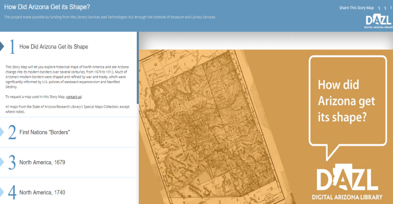
The State of Arizona Research Library has just launched a new digital Story Map called, How Did Arizona Get its Shape? A story map is an interactive platform that combines digitized maps, images, and text to show the comparison between a historic map and the modern world.
The platform allows users to explore historical maps of North America to see how Arizona evolved into its modern borders from 1679 to 1912.
The maps initially cover large geographic areas, and transition to smaller areas as the story advances until the focus is entirely on Arizona as its borders are shaped today.
